If you and your crew are in popular Desolation Sound and are looking for a small tranquil, less visited anchorage where it is just you and the wildlife, the anchorage in the lee of the Cochrane Islands might be just the ticket.
Located at the northern end of Malaspina Inlet, The Cochrane Islands consist of two large low-lying islands joined by a drying ledge with several large rocks on it. An Islet and a number detached drying rocks lie east of the drying ledge, makes entering the anchorage from the north risky and unsafe. The uplands surrounding the anchorage make up the southern boundary of Desolation Sound Marine Park .
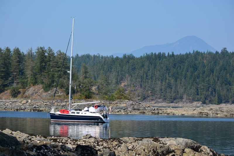
The safest approach to the unnamed anchorage is around the most southern Cochrane group. The chart shows no hazards in the protected bay between the island and Malaspina Peninsula. Idle through the center of the kelp-strewn entrance, keeping an eye on the depth sounder. The depth will be about 10-metres until clear of the kelp. Set the hook in the southern portion of the anchorage in a depth of 30-metres over a good holding gravel and sand bottom. Another anchorage is to the north 150-metres in the middle of the small bay over 40-metres of water. Ensure a good hook set, at maximum ebb and flood the current can flow through the anchorage at two to three knots.
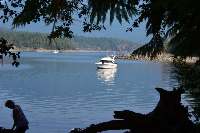
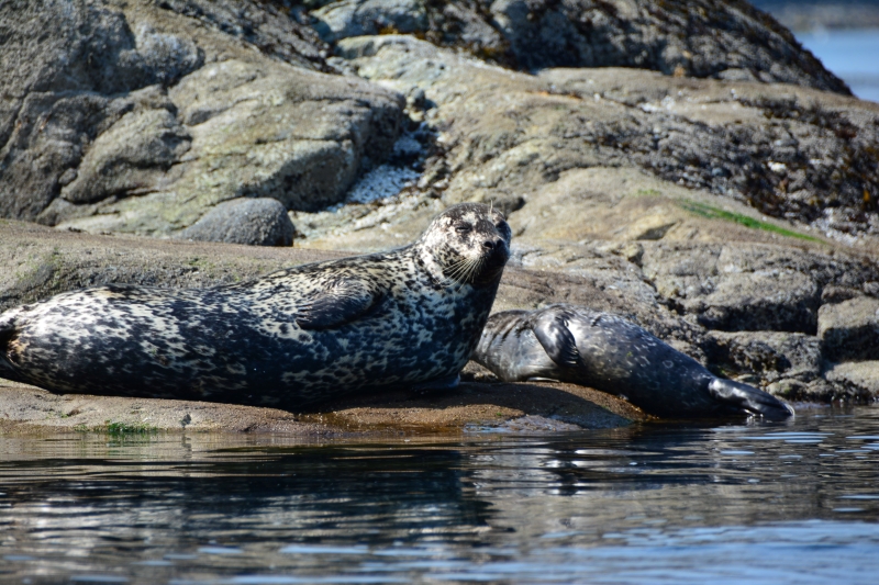
With the engine shut off, silence prevails. An occasional boat passes out in Malaspina Inlet. Harbour seals play peek-a-boo pop their heads up to have a look, then quickly arch their back and slip below the surface. The anchorage is well protected from passing boat wakes and the view across the inlet to Gifford Peninsula and the distant Bunster Mountain Range is outstanding.
At low tide, the island’s shoreline, and the drying ledge between the islands and tidepools make for excellent dinghy or kayak exploration. In the southwest corner of the anchorage, there is somewhat of a landing – a small section of beach clear of big rocks. This is the Cochrane Bay campsite – a well-charted stop along the180-kilometre Sunshine Coast Trail, which runs from Sarah Point to Saltery Bay in Jervis Inlet. The route traverses a wide variety of landscapes, from coastal shorelines, along creeks and lakes, through old growth forests to panoramic mountaintops. Attracting hikers from around the world, this epic hiking trail now boasts fifteen huts. Making it Canada’s Longest Hut-To-Hut Hiking Trail – and the only free one.
At the camp site is a trail well worth the effort. It wanders through forest is a groomed trail and a sign indicated it was 2.5-kilometers to Wednesday Lake. It isn’t a walk in a city park, and is hilly, but a fit person should be able to do it in about one hour one way. The trail wonder through the forest of second growth with occasional giant cedar, and with ferns and salal covering the ground.
At the lake there is a bench on top of a bluff. The lake water is brown indicating the presence of tannins. To the left there is a gentle rock slop into the lake, a popular swimming spot for hikes.
In the evening after the sunsets and only a dim silhouette of the landscape is visible. Your little world includes the boat, an indistinct area of water, seals, and if you’re lucky there are no other boats or people in the anchorage. In the sky, stars trail off into infinity in the cloudless sky.
In the morning wake to loons calling and eagles chirping and Great Blue Herons, a prehistoric looking bird with a six-foot wingspan, looking for a meal along the shoreline
