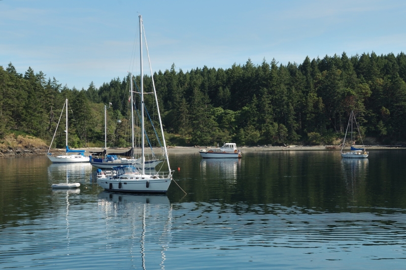
A popular anchorage in the Gulf Islands is Portland Island, located less than 5-nm north of Sidney. Good anchorage is in Royal Cove on the north end of the island and Princes Bay on the southern side of Portland Island. The entrance into Royal cove is unobstructed and offers protection from the northwest by Chad Island, decent holding in two to four metres over a sand and kelp bottom. This is the island’s preferred hidey-hole in a southerly breeze and it’s best to tie a stern line to shore to limit swing and keep your bow pointed into rolling ferry wash which enters the anchorage from the north. There is a dinghy dock for easy access to the Island’s uplands.
Knowledgeable boaters enter Princess Bay (once known as Tortoise Bay) using the south entrance between Tortoise Islets and Hood Island. Although, the safest approach is north of the Tortoise Islets and the larger unnamed Island with the cabin on it. Preferred anchoring is west of the unnamed Island in 2 to 3 meters of water for the best protection from weather. The head of the bay shoals quickly and the sea floor is blanketed with sea growth. For access to the island and the island’s trail system there is a seasonal dinghy dock on the bay’s northwest shore.
For the adventurous, there is anchorage off the east side of the island, just to the northwest of Pellow Islets, and another west of Turnbul Island. To enter both, attention must be given to the tides and careful pilotage is required to avoid numerous rocks and shoals.
To the west of Portland Island lies the ecological reserve of Brackman Island. Several rare plants reside here, and the island has been deemed off limits by the Gulf Islands National Park Reserve of Canada.
Portland Island was once the site of a First Nations Village, but now the shell midden beaches ring the island are the most visible reminder of their presence. In 1859 Captain G.H. Richards of the HMS Plumper, named the Island after the flagship of the Rear Admiral Fairfax Moresby, the HMS Portland. The island was settled by Kanaka (Hawaiian) immigrants in the late 1880’s. In 1927, retired Major-General and businessman Frank ‘one arm’ Sutton bought the island with plans for development. Sutton lost part of an arm to a hand grenade at the Battle of Gallipoli. Sutton’s dreams were crushed with the crash of the stock market in 1929. The island was presented as a gift to Princess Margaret in 1958 to commemorate her visit to the province. In turn, she returned the island to British Columbia as a provincial park in 1967. Today, the 226.7-hectare island is a portion of the Gulf Islands National Park Reserve of Canada.
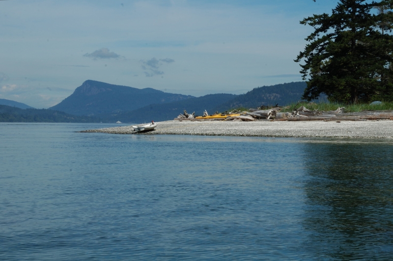
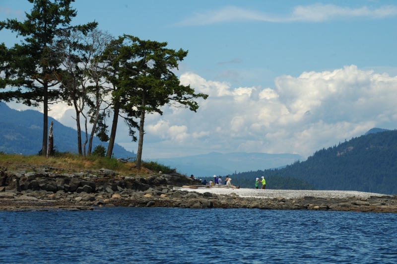
It takes about 30 minutes to hike across the island between the two main anchorages, but there is a 6.5-kilometr trek that follows the shoreline around the island, about a 3-hour hike. Along the way there are sandy beaches, shell tombolo, enclosed beaches, and sandstone headlands. Along portions of the trail system there are interpretive signs that share the history of the island.
During your hike you may encountered river otters and raccoons swimming near the shore and scampering across beaches and rocks, the occasional Blacktail deer, mink, bald eagles, oystercatchers, Redtail hawks, great blue herons, turkey vultures and even osprey.
